
Aerosol Lidar and Volcanic Eruptions: How Our Network Tracks Ash and Sulphate
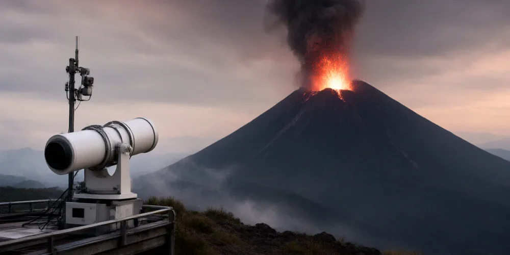
When Eyjafjallajökull erupted in April 2010, it did more than ground flights across Europe — it exposed how little real-time information we had about where volcanic ash actually was in the sky. UK airspace closed for days, stranding millions of passengers, largely because forecasters couldn’t say with confidence how thick the ash was at different altitudes. That gap in monitoring is exactly what aerosol lidar is built to fill. Here at NDACC, our network of ground-based lidar stations exists to measure the vertical structure of the atmosphere — and when a volcano throws sulphur dioxide and ash into the stratosphere, we’re watching.
Why Volcanic Aerosols Matter for Atmospheric Science
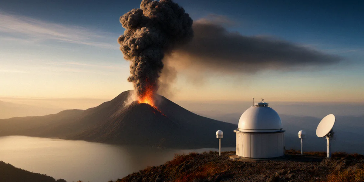
Volcanic eruptions are one of the few natural events that can change the climate of the entire planet for years. When a volcano injects sulphur dioxide (SO2) high into the stratosphere, that gas reacts with water vapour and sunlight to form sulphate aerosols — tiny droplets that reflect incoming solar radiation back into space. The result is a measurable cooling effect at the surface.
The textbook example is Mount Pinatubo in 1991. That eruption injected around 20 million tonnes of SO2 into the stratosphere, and the resulting sulphate aerosol layer cooled global temperatures by about 0.5°C for roughly two years. It remains one of the best-documented cases of volcanic climate forcing, and it’s why atmospheric scientists take every significant eruption seriously.
From SO2 to Sulphate: The Chemistry Above Our Heads
The conversion from SO2 to sulphate doesn’t happen instantly. It takes weeks, and it depends on temperature, sunlight, and the presence of oxidants like the hydroxyl radical. This is why the aerosol layer from a major eruption often peaks months after the event itself. Tracking that evolution — from gas to particle, from injection to dispersion — requires instruments that can measure both the amount and the altitude of material overhead. Lidar does exactly that.
Ozone Monitoring Meets Volcanic Aerosols
Sulphate aerosols don’t just affect temperature. They also interfere with ozone chemistry. On the surfaces of these droplets, heterogeneous reactions can convert chlorine compounds into forms that destroy ozone more efficiently. After Pinatubo, scientists observed measurable ozone depletion in the lower stratosphere. Because NDACC’s core mission includes long-term ozone monitoring, understanding volcanic aerosol loading is inseparable from understanding ozone trends. Our stations measure both, often with the same instruments.
How Aerosol Lidar Detects Volcanic Plumes
Lidar — light detection and ranging — works on a simple principle. We fire short pulses of laser light into the atmosphere and measure what comes back. Particles and molecules scatter some of that light back toward the instrument, and by timing the return signal, we can build a profile of the atmosphere as a function of altitude. For volcanic plumes, this gives us something no ground-level sensor or satellite can match: range-resolved, high-resolution vertical structure.
NDACC maintains standardised aerosol lidar protocols so that data from different stations — whether in Hampshire, Hawaii, or the Arctic — can be directly compared. That comparability is what makes a global network useful.
Backscatter, Depolarisation, and What They Tell Us
Two measurements matter most for volcanic aerosol detection:
- Backscatter ratio: tells us how much extra light is being returned compared to a clean, particle-free atmosphere. Higher values indicate more aerosol.
- Depolarisation ratio: reveals the shape of the particles. Spherical sulphate droplets produce low depolarisation, while irregular ash particles produce higher values. This lets us distinguish ash from sulphate in the same plume.
At Chilbolton Observatory in Hampshire, our Raman lidar adds another dimension. By detecting Raman-shifted returns from nitrogen molecules, it can retrieve independent aerosol backscatter and extinction profiles — giving us quantitative aerosol optical properties without assumptions about particle size or composition.
NDACC’s Quality Assurance for Aerosol Lidar Data
Every NDACC aerosol lidar station follows the same calibration and processing standards. This includes regular intercomparisons, documented uncertainty budgets, and adherence to retrieval algorithms agreed by the community. The payoff is that a sulphate layer measured over the UK can be directly compared with the same layer measured over Japan or New Zealand. For volcanic monitoring, that consistency is essential — it’s how we build a coherent global picture of where an eruption’s aerosol cloud has travelled and how it’s evolving.
Case Studies: Volcanic Eruptions Measured by Our Network
Our network has tracked several major eruptions over the past fifteen years. Each one has taught us something new about how volcanic material moves through the atmosphere and how lidar can support practical decision-making.
Eyjafjallajökull 2010: Lessons for UK Aviation
The 2010 Eyjafjallajökull eruption caused widespread UK airspace closures and highlighted the need for better ash monitoring. At the time, ash forecasts relied heavily on dispersion models with limited observational input. Lidar stations, including those in the UK and across Europe, were able to detect ash layers at altitudes between 2 and 10 km, but the data wasn’t yet integrated into operational advisories in real time. That experience directly motivated improvements in how ground-based lidar feeds into aviation decision-making.
Raikoke 2019: A Stratospheric Surprise
When Raikoke, a small volcanic island in the Kuril chain, erupted in June 2019, it sent a plume into the stratosphere that circled the globe within weeks. Unlike Eyjafjallajökull, which mostly affected the troposphere and aviation, Raikoke’s sulphate aerosol layer persisted in the stratosphere for months. Our lidar stations tracked its passage, measuring backscatter ratios and depolarisation to confirm the presence of sulphate droplets. The event reminded us that even modest eruptions can have stratospheric consequences.
UK Contributions to Global Volcanic Aerosol Monitoring
The UK plays an outsized role in volcanic aerosol monitoring, both through its station infrastructure and its scientific leadership within international networks.
Chilbolton Observatory and the Met Office Lidar Network
Chilbolton Observatory in Hampshire hosts a Raman lidar that contributes to NDACC aerosol measurements. It’s one of the most capable ground-based aerosol lidar systems in Europe. Separately, the Met Office operates lidar systems that feed into UK volcanic ash advisories — the official warnings issued to airlines and air traffic controllers. Together, these systems provide complementary coverage: research-grade measurements from Chilbolton and operational monitoring from the Met Office network.
Working with NDACC and ACTRIS Partners
UK lidar groups, including teams at the University of Manchester and STFC, collaborate closely with NDACC and ACTRIS (the Aerosol, Clouds and Trace Gases Research Infrastructure). This collaboration ensures that UK data meets international standards and that UK scientists contribute to the protocols and algorithms the global community relies on. It’s a two-way relationship: we benefit from the network’s collective expertise, and we help maintain the quality standards that make the network credible.
What the Future Holds for Aerosol Lidar and Volcanology
Several developments are set to improve how we monitor volcanic aerosols in the coming years.
EarthCARE and Synergies with Ground-Based Lidar
ESA’s EarthCARE mission, launched in 2024, carries a lidar (ATLID) designed to profile aerosols and clouds from space. Its measurements will complement ground-based networks like ours. When a satellite passes over a volcanic plume, ground stations can validate its retrievals; when the satellite isn’t overhead, ground stations provide the continuous record. This synergy between spaceborne and ground-based lidar is the future of aerosol monitoring.
Real-Time Ash Forecasting for UK Planners
One of the most practical goals is getting lidar data into ash dispersion models faster. If forecasters can ingest real-time lidar profiles of ash height and concentration, they can issue more precise advisories — potentially keeping more airspace open without compromising safety. Our network is working toward automated data pipelines that would make this possible.
FAQ
What is aerosol lidar and how does it detect volcanic ash?
Aerosol lidar fires laser pulses into the atmosphere and measures the light scattered back by particles. By analysing the timing and intensity of the return signal, we can determine the altitude and concentration of volcanic ash and sulphate aerosols.
Why was the 2010 Eyjafjallajökull eruption so disruptive to UK airspace?
The eruption produced a large ash cloud that drifted over northern Europe, and at the time we lacked the real-time observational data needed to assess ash concentrations at different altitudes. Authorities closed airspace as a precaution, grounding millions of passengers.
How does NDACC ensure data quality across different lidar stations?
NDACC maintains standardised protocols for calibration, data processing, and uncertainty reporting. Stations participate in regular intercomparisons, so measurements from the UK can be directly compared with those from anywhere else in the network.
Can volcanic aerosols really cool the planet?
Yes. The 1991 Mount Pinatubo eruption injected sulphate aerosols into the stratosphere that cooled global temperatures by about 0.5°C for two years. This happens because sulphate droplets reflect incoming sunlight back into space.
How does volcanic aerosol affect the ozone layer?
Sulphate aerosols provide surfaces for chemical reactions that can enhance ozone destruction, particularly in the lower stratosphere. This is why ozone monitoring and aerosol monitoring go hand in hand at NDACC stations.
Aerosol lidar is not just a research tool — it’s a practical safeguard for UK aviation and a key to understanding how volcanic eruptions affect ozone and climate. Our network’s ability to measure the vertical structure of volcanic plumes, combined with international collaboration through NDACC and ACTRIS, ensures that the UK is better prepared for the next eruption than it was in 2010.