
Validating Satellite Data with Ground Lidar: Our Role in the NDACC Network
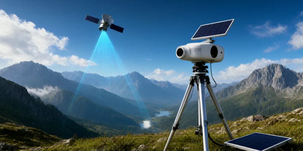
Picture this: you check the UV index on your weather app, or read a report that the ozone layer is recovering, and you take it at face value. That trust is built on satellite instruments orbiting hundreds of kilometres above us, quietly measuring the atmosphere. But how do we know those readings are accurate? Satellites can drift, sensors age, and calibration slips. That’s where we come in. Ground-based lidar stations, coordinated through the NDACC network, act as the independent reality check that keeps satellite ozone data honest.
Why Satellite Data Needs a Reality Check

Satellites give us the big picture: global coverage of atmospheric composition, day after day, pole to pole. Instruments like the European Space Agency’s Sentinel-5P and NASA’s Aura spacecraft deliver vast quantities of data on ozone, aerosols and trace gases. But a satellite is a complex machine in a harsh environment, and its measurements are only as good as our ability to verify them against something independent.
The problem of orbital drift and sensor ageing
Satellites don’t stay perfectly still. Their orbits drift over time, their instruments degrade under solar radiation, and their calibration references can shift. A sensor that was accurate on launch day may develop subtle biases years later. Without ground-based references, those errors could quietly contaminate climate records and forecasts.
How validation builds confidence in climate records
Validation is how we turn raw satellite signals into trustworthy science. By comparing satellite retrievals with well-characterised ground measurements, we can quantify biases, correct drift and confirm that a dataset is fit for purpose. That confidence underpins everything from ozone recovery assessments to air quality forecasts.
How Ground-Based Lidar Works as a Reference
Lidar — light detection and ranging — is our workhorse. We fire laser pulses into the atmosphere and analyse the light that scatters back, building detailed vertical profiles of ozone and aerosols. Because the instruments are on the ground, we can calibrate them rigorously and maintain them over decades, which is exactly what satellite validation demands.
Differential absorption lidar (DIAL) in plain English
Differential absorption lidar (DIAL) is the primary technique for ground-based ozone profiling in NDACC. In simple terms, we send out two laser pulses at slightly different wavelengths: one that ozone absorbs strongly and one that it absorbs weakly. By comparing how much light returns at each wavelength, we can calculate how much ozone lies along the beam path at each altitude. It’s a direct, physical measurement — no assumptions about atmospheric models required.
NDACC measurement protocols and quality assurance
Consistency is everything in a global network. The NDACC Lidar Working Group sets standardised measurement protocols, calibration procedures and quality assurance checks so that data from different stations can be compared directly. That rigour is what makes NDACC lidar data a credible reference for satellite agencies worldwide.
The NDACC Network: A Global Validation Backbone
NDACC stands for the Network for the Detection of Atmospheric Composition Change. It is a worldwide network of ground-based stations measuring ozone, aerosols, trace gases and more, and it plays a central role in satellite validation. Its partnership with the World Meteorological Organization helps ensure that NDACC data feed directly into international monitoring and assessment efforts.
Key NDACC stations and their satellite overpass schedules
Stations such as Hohenpeissenberg in Germany and Lauder in New Zealand are long-established pillars of the network. Many NDACC sites time their measurements to coincide with satellite overpasses, so that ground and space-based instruments are effectively looking at the same air mass at the same moment. This coordination is what makes direct comparison possible.
How NDACC data feeds into international assessments
NDACC measurements contribute to major international reports on ozone depletion and climate, giving policymakers and scientists an independent check on satellite-derived trends. When a satellite record suggests the ozone layer is recovering, NDACC data help confirm whether that signal is real.
UK Contributions to Satellite Validation
The UK has a strong stake in this work. The Rutherford Appleton Laboratory in Oxfordshire operates a key lidar station for satellite validation, and UK research groups, including teams at the University of Manchester, are actively involved in validating ozone and aerosol satellite products. This isn’t abstract science — it directly supports national monitoring needs.
The Rutherford Appleton Laboratory’s lidar facility
The Rutherford Appleton Laboratory’s lidar facility provides high-quality atmospheric profiles that are used to benchmark satellite instruments. Its long-term datasets help detect subtle drifts that might otherwise go unnoticed.
Collaborations with the Met Office and UK universities
The Met Office uses validated satellite ozone data for UK air quality and climate monitoring, which means the validation chain that starts at a lidar station feeds directly into public services. UK universities add further capacity through research campaigns, instrument development and data analysis.
- Rutherford Appleton Laboratory — lidar station and satellite validation expertise
- University of Manchester — ozone and aerosol product validation
- Met Office — downstream use of validated ozone data for air quality and climate
Case Study: Validating Ozone Monitoring Satellite Data
Here’s a concrete example of validation in action. The Ozone Monitoring Instrument (OMI) on NASA’s Aura satellite has been validated using NDACC lidar data, and that process revealed important lessons about how satellite retrievals can drift.
Detecting biases in OMI ozone profiles
Comparisons between OMI retrievals and NDACC lidar profiles highlighted systematic differences in certain altitude ranges and conditions. These biases weren’t obvious from the satellite data alone — they only emerged when an independent, well-calibrated ground reference was brought into the picture.
From validation to algorithm improvement
Once a bias is identified, satellite teams can refine their retrieval algorithms and reprocess the data. This feedback loop — ground truth in, improved satellite product out — is how the global ozone record steadily improves. Without NDACC lidar data, those biases could have persisted for years.
Challenges and the Road Ahead
Keeping this system working is not without difficulty. Long-term records require long-term funding, skilled staff and well-maintained instruments. As new satellite missions come online, the validation workload grows rather than shrinks.
Keeping lidar stations running for decades
A lidar station is only useful for climate validation if it operates consistently for decades. Securing sustained funding and succession planning for technical expertise are ongoing challenges that the network must address.
New satellites, new validation needs
The Copernicus programme and other new missions will deliver ever more data, and each new instrument needs its own validation. Continuous UK participation in NDACC is essential to ensure we can keep pace with these developments and maintain independent oversight of satellite ozone monitoring.
FAQ
What does NDACC stand for?
NDACC stands for the Network for the Detection of Atmospheric Composition Change, a global network of ground-based stations measuring ozone, aerosols and trace gases.
Why is ground-based lidar needed if satellites already measure ozone?
Satellites can drift and their sensors age, so independent ground-based measurements are needed to detect biases and confirm that satellite data are accurate.
What is DIAL and why does it matter?
Differential absorption lidar (DIAL) is the primary technique for ground-based ozone profiling in NDACC. It compares laser returns at two wavelengths to measure ozone directly at each altitude.
Which UK facility operates a key lidar station for satellite validation?
The Rutherford Appleton Laboratory in Oxfordshire operates a key lidar station used for satellite validation.
How is validated satellite ozone data used in the UK?
The Met Office uses validated satellite ozone data for UK air quality and climate monitoring.
Ground-based lidar validation is the unsung hero of satellite atmospheric science. It rarely makes headlines, but it is what allows us to trust the ozone numbers that shape climate policy and public health advice. UK involvement in NDACC — from the Rutherford Appleton Laboratory to our university partners — is vital for keeping that trust intact.