Measuring Stratospheric Ozone with Lidar: How We Track Our Atmosphere
Most of us rarely think about the thin layer of ozone gas sitting between 10 and 50 kilometres above our heads, yet it quietly shields every living thing on Earth from harmful ultraviolet radiation. For decades, scientists relied on satellites and balloon-borne instruments to keep an eye on it, but ground-based lidar has transformed what we can see — and how precisely we can see it. In this post, we’ll explain how lidar works as an ozone monitoring tool, why the NDACC network matters, and what we’ve learned from running our own campaigns here in the UK.
Why Stratospheric Ozone Matters and How Lidar Fits In
Stratospheric ozone absorbs the vast majority of the Sun’s ultraviolet-B and ultraviolet-C radiation before it reaches the surface. Without it, rates of skin cancer, cataracts and crop damage would rise sharply. The 1987 Montreal Protocol — one of the most successful environmental treaties ever signed — phased out ozone-depleting substances like CFCs, and the ozone layer is now slowly recovering. Tracking that recovery requires measurements that are accurate, consistent and long-term.
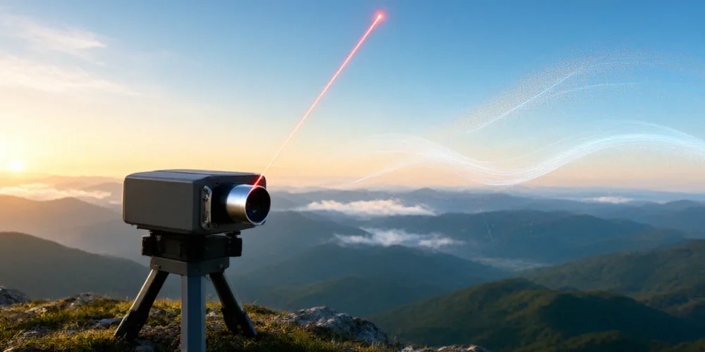
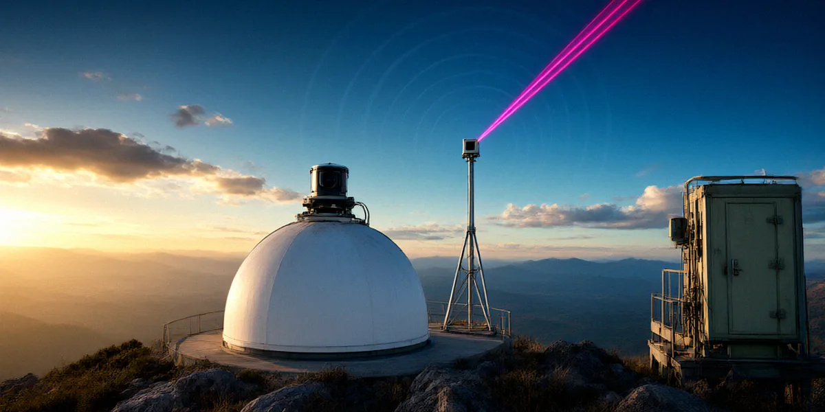
Lidar, which stands for Light Detection and Ranging, is a remote sensing technique that fires pulses of laser light into the atmosphere and analyses the light that scatters back. Because ozone absorbs specific wavelengths of light, lidar can retrieve ozone concentration as a function of altitude without ever leaving the ground. This makes it an ideal complement to satellites and chemical sondes.
The Science of Ozone Depletion and Recovery
Ozone depletion is driven largely by chlorine and bromine compounds released from industrial chemicals. In the extreme cold of the polar stratosphere, these compounds convert into forms that catalytically destroy ozone — most dramatically over Antarctica each spring. Thanks to the Montreal Protocol, atmospheric chlorine levels have been declining since the late 1990s, and models predict a full recovery of the ozone layer sometime between 2050 and 2070. Verifying those predictions depends on sustained observations.
Lidar vs. Other Ozone Measurement Techniques
Satellites offer global coverage but coarse vertical resolution and limited sensitivity in the lower stratosphere. Ozonesondes provide excellent vertical profiles but only at the moment of launch, typically once a week. Lidar sits between the two: it delivers high-resolution vertical profiles, can operate continuously, and can be calibrated against reference instruments. That’s why networks like NDACC — the Network for the Detection of Atmospheric Composition Change — rely heavily on lidar stations for long-term trend analysis.
How Lidar Measures Ozone: The Differential Absorption Technique
The workhorse technique for lidar-based ozone measurement is DIAL — Differential Absorption Lidar. Rather than measuring ozone directly, DIAL exploits the fact that ozone absorbs some wavelengths of ultraviolet light more strongly than others.
The DIAL Principle: On-Line and Off-Line Wavelengths
A DIAL system emits pairs of laser pulses at two closely spaced wavelengths:
- On-line wavelength: strongly absorbed by ozone.
- Off-line wavelength: weakly absorbed, used as a reference.
By comparing the backscattered signal at both wavelengths, we can calculate how much ozone the light passed through at each altitude. Repeating this across many range gates produces a vertical ozone profile. NDACC plays a crucial role here by standardising wavelengths, retrieval algorithms and uncertainty reporting so that data from different stations can be compared directly.
From Photons to Ozone Profiles: Data Processing
Raw lidar returns are noisy photon counts. Turning them into usable ozone profiles involves background subtraction, range correction, Rayleigh and aerosol corrections, and a retrieval that inverts the differential absorption signal into number density. Our team spends as much time on this processing pipeline as on the fieldwork itself — quality assurance is what makes NDACC data trustworthy for climate research.
NDACC’s Lidar Network: A Global Watchdog for Ozone
NDACC is an international network of ground-based remote sensing stations that monitor the composition of the stratosphere and troposphere. Its lidar working group coordinates measurements of ozone, temperature, aerosols and water vapour across more than 20 countries, providing the long-term datasets that underpin ozone assessments from the World Meteorological Organization and the UN Environment Programme.
Key NDACC Lidar Stations in the UK and Europe
The UK punches well above its weight in atmospheric science. Notable contributions include:
- The Rutherford Appleton Laboratory in Oxfordshire, which operates advanced lidar systems and supports NDACC-affiliated research.
- The Chilbolton Observatory in Hampshire, a long-standing site for atmospheric remote sensing campaigns.
- The University of Manchester, whose researchers contribute to lidar development and ozone retrieval science.
- The Met Office, which collaborates on atmospheric composition monitoring and model evaluation.
Across Europe, stations in France, Germany, Switzerland and Norway add to the picture, giving the network coverage from the subtropics to the Arctic.
Data Sharing and Quality Assurance
Every NDACC station follows common protocols for instrument characterisation, calibration and uncertainty analysis. Data are submitted to a central archive and made freely available to researchers, which is essential for detecting small but meaningful trends in ozone recovery.
Our Experience: Running a Lidar Campaign in the UK
Over the past few years, our team has taken part in several lidar campaigns aimed at characterising stratospheric ozone over the UK. These campaigns are equal parts science, logistics and patience.
Fieldwork Tales: Weather, Equipment, and Teamwork
UK weather is not kind to lidar. Clear, stable nights are rare, and a single cloud can wipe out hours of preparation. We’ve learned to watch forecasts obsessively, keep spare optics on hand, and treat every clear night as precious. Sites like the Chilbolton Observatory in Hampshire offer excellent infrastructure, while collaborations with the Met Office help us align our measurements with national monitoring priorities. The Rutherford Appleton Laboratory in Oxfordshire has also been a valuable partner for instrument testing, and colleagues at the University of Manchester have helped us refine retrieval methods.
What We’ve Learned About UK Stratospheric Ozone
Our profiles show the expected seasonal cycle — ozone peaks in late winter and early spring — alongside variability linked to planetary wave activity and the polar vortex. Perhaps most importantly, we’ve seen how valuable long-term, consistent records are: a single campaign tells you little, but years of data reveal trends.
The Future of Ozone Monitoring: Lidar and Beyond
Lidar technology is evolving quickly. New systems are more compact, more automated and capable of operating unattended for months at a time, which is critical for maintaining long-term records at remote sites.
Next-Generation Lidar Systems
Developments in diode-pumped solid-state lasers, fibre amplifiers and single-photon detection are making lidar cheaper and more reliable. Autonomous systems could soon fill gaps in the global network, particularly in regions where staffing a station year-round is impractical.
Integrating Lidar with Satellite and Model Data
NDACC is actively working to integrate ground-based lidar data with satellite missions and chemical transport models. This synergy improves satellite validation, strengthens reanalysis products, and gives policymakers a clearer picture of how the ozone layer is responding to the Montreal Protocol.
FAQ
What does NDACC stand for?
NDACC stands for the Network for the Detection of Atmospheric Composition Change. It is an international network of ground-based stations that monitor ozone, aerosols, temperature and other atmospheric variables.
How does lidar differ from a satellite for ozone monitoring?
Lidar measures ozone from the ground upwards with very high vertical resolution, while satellites provide global coverage but with coarser vertical detail. The two approaches are complementary.
Why are UK sites like Chilbolton and Rutherford Appleton important?
They provide well-instrumented, mid-latitude locations that fill an important gap in the NDACC network and support calibration and validation of satellite instruments.
Is the ozone layer actually recovering?
Yes — observations show that ozone-depleting substances are declining and stratospheric ozone is slowly recovering, though year-to-year variability means long-term datasets are essential to confirm the trend.
Can I access NDACC lidar data?
Yes. NDACC data are openly available through the network’s central archive, subject to standard acknowledgement and citation requirements.
Lidar remains a cornerstone of ozone monitoring, bridging the gap between local measurements and global understanding. Whether you’re a researcher, a student or simply curious about the atmosphere above you, we’d encourage you to explore NDACC’s data, follow its campaigns, and support the long-term observations that keep our planet’s protective ozone layer in view.