Careers in Atmospheric Remote Sensing: Our Guide to Lidar and NDACC Roles
Our team’s route into atmospheric lidar was hardly a straight line. One of us arrived via a physics degree and a summer placement that involved more cable-tidying than laser alignment; another came from a chemistry background and only touched their first lidar system at a field campaign in Hampshire. What we shared was a fascination with what you can learn by firing a laser upwards and reading the light that comes back. That curiosity is now in strong demand across the UK, where atmospheric remote sensing has moved from a niche academic pursuit to a core part of how we monitor ozone, track stratospheric change, and verify climate policy. If you are considering a career in this field, here is what we have learned about the roles, the skills, and the practical steps that actually get people hired.
Why Atmospheric Remote Sensing Is a Growing Field
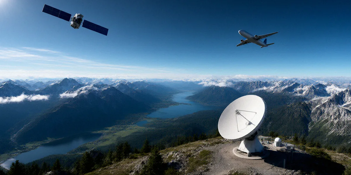
The instruments have become more capable, the datasets longer, and the policy stakes higher. Satellite missions and ground-based networks now feed the same models, and governments want independent verification of what is happening in the stratosphere. That has translated into sustained investment: the Met Office and UK Research and Innovation (UKRI) fund atmospheric science projects that rely on lidar data, from ozone trend analysis to aerosol profiling. Lidar offers something satellites struggle with — high-resolution vertical profiles, measured continuously, from the ground up through the stratosphere.
The Role of NDACC in Global Ozone Monitoring
NDACC (Network for the Detection of Atmospheric Composition Change) operates over 70 remote sensing stations worldwide, including UK sites, and functions as the backbone of long-term atmospheric composition monitoring. Its lidar measurements underpin ozone monitoring and stratospheric research, providing the reference datasets against which models and satellite retrievals are validated. For anyone building a career, NDACC is not just a data source — it is a community of instrument scientists, analysts, and station operators who collaborate across continents.
UK-Based Research Centres and Facilities
The UK hosts a genuinely strong ecosystem of facilities and institutions. Chilbolton Observatory in Hampshire hosts a key lidar facility for atmospheric profiling, and it is often the first place students encounter a working system in the field. The National Centre for Atmospheric Science (NCAS) provides training and career development for lidar researchers in the UK, bridging university research and national capability. Add in groups at the University of Manchester, the University of Leeds, and the Rutherford Appleton Laboratory, and you have a network that supports careers from apprenticeship-level technical work through to professorial research.
Key Career Paths in Lidar and Atmospheric Science
People often assume the only route is a PhD followed by a postdoc. In practice, the field needs a broad mix of skills, and the roles differ enormously in what a typical week looks like.
Instrument Development and Field Engineering
These are the people who design, build, align, and repair lidar systems. The work is hands-on: optics, electronics, vacuum systems, thermal control, and plenty of problem-solving at odd hours during campaigns. Employers include NCAS, university instrument groups, and specialist photonics companies. A background in physics or engineering is typical, but we have worked alongside excellent instrument engineers who came through technical apprenticeships rather than degrees.
Data Analysis and Atmospheric Modelling
Every lidar produces far more data than a single researcher can inspect. This path covers retrieval algorithm development, quality control, uncertainty analysis, and integrating lidar profiles into chemical transport and climate models. Python and MATLAB are the working languages, with growing use of cloud platforms and version-controlled pipelines. University of Manchester and University of Leeds offer specialised atmospheric science programmes with lidar components that feed directly into these roles.
Project Management and Network Coordination
International networks only function because someone coordinates calibration schedules, data submission deadlines, and reporting. Project managers and network coordinators in organisations such as NCAS and NDACC-affiliated institutes keep stations operating and data flowing. This suits scientists who enjoy organisation as much as analysis, and it is one of the more underrated career routes in the field.
Skills and Qualifications We Look For
When we review applications, we are looking for evidence that someone can handle the mix of theory, code, and practical mess that defines this work.
Academic Background: Physics, Engineering, or Environmental Science
Physics, engineering, and environmental science degrees all lead here. A PhD is common for research-track posts, but it is not always required for technical roles — instrument technicians, data engineers, and field operators frequently hold masters degrees or bachelor’s degrees with strong practical experience.
Technical Skills: Lidar Systems, Remote Sensing, and Programming
Useful skills we consistently value include:
- Programming in Python or MATLAB for data processing and visualisation
- Understanding of lidar principles, including elastic backscatter and differential absorption techniques
- Familiarity with remote sensing retrievals and uncertainty estimation
- Basic electronics, optics, and instrumentation troubleshooting
- Experience handling large environmental datasets and metadata standards
Soft Skills: Collaboration and Communication
Field campaigns are team efforts, often international and occasionally stressful. We look for people who communicate clearly, write decent documentation, and can explain a retrieval algorithm to a policy audience without losing them. Conference presentations and network meetings matter more than many early-career researchers expect.
How to Break Into the Field: Practical Steps
The most common question we get is simply: where do I start? Here is what has worked for people we have mentored.
Gaining Experience Through Internships and Placements
Target internships at Chilbolton Observatory, university lidar groups, and NCAS summer programmes. Even a few weeks of fieldwork teaches you more about instrument behaviour than months of reading. UKRI-funded studentships sometimes include placement opportunities with national facilities.
Networking in the NDACC and UK Atmospheric Science Community
Attend NDACC meetings and UK atmospheric science conferences, even as a student. The community is small enough that a thoughtful question at a poster session can lead to a collaboration or a job lead. Join relevant special interest groups and follow the work coming out of the University of Manchester, Leeds, and NCAS.
Further Study: Masters and PhD Programmes
If you want a research career, a masters in atmospheric science or remote sensing is a sensible stepping stone, followed by a PhD aligned with an existing network or facility. Choose projects with real instrument access, not just simulation work.
Career Progression and Long-Term Opportunities
Lidar expertise travels well. The same skills in optical instrumentation, retrieval algorithms, and data quality are valued far beyond academia.
From Postdoc to Principal Investigator
The academic route runs through postdoctoral positions, fellowship applications, and eventually leading your own group or station. Principal investigators in this field typically combine instrument leadership, publication records, and success in securing funding from UKRI and European programmes.
Moving into Industry: Environmental Consultancy and Space Tech
The European Space Agency and the wider UK space sector recruit people who understand remote sensing retrievals and validation. Environmental consultancies need experts who can interpret atmospheric data for regulators and industry. Others move into photonics, defence, or instrument manufacturing, where lidar skills command strong salaries.
FAQ
Do I need a PhD to work with lidar systems?
No. Research scientist and principal investigator roles usually expect a PhD, but instrument engineering, field operations, data engineering, and project coordination roles are regularly filled by people with masters or bachelor’s degrees plus practical experience.
What programming languages should I learn first?
Start with Python, since most modern atmospheric data processing and visualisation pipelines use it. MATLAB remains common in older lidar groups and is worth basic familiarity, but Python will serve you across more employers.
Are there UK-specific training opportunities in atmospheric remote sensing?
Yes. NCAS provides training and career development for lidar researchers in the UK, and Chilbolton Observatory in Hampshire offers practical exposure to atmospheric profiling. University programmes at Manchester and Leeds include lidar components within broader atmospheric science degrees.
How important is fieldwork experience?
Very. Lidar data quality depends on understanding how instruments behave in real conditions. Even limited campaign experience demonstrates that you can handle the practical side of the work, which stands out in applications.
What does NDACC actually do for early-career researchers?
NDACC connects over 70 remote sensing stations worldwide, including UK sites, and gives early-career researchers access to long-term datasets, international collaboration, and meetings where genuine career opportunities emerge.
Atmospheric remote sensing offers unusually diverse and impactful careers, whether you want to build instruments, analyse stratospheric ozone trends, or coordinate global monitoring networks. We would encourage anyone curious about the field to explore NDACC resources, look into UK training programmes through NCAS, and get in touch with a local research group — that first conversation is often how the whole thing begins.