How Atmospheric Lidar Works: A Guide to NDACC’s Ozone and Stratosphere Monitoring
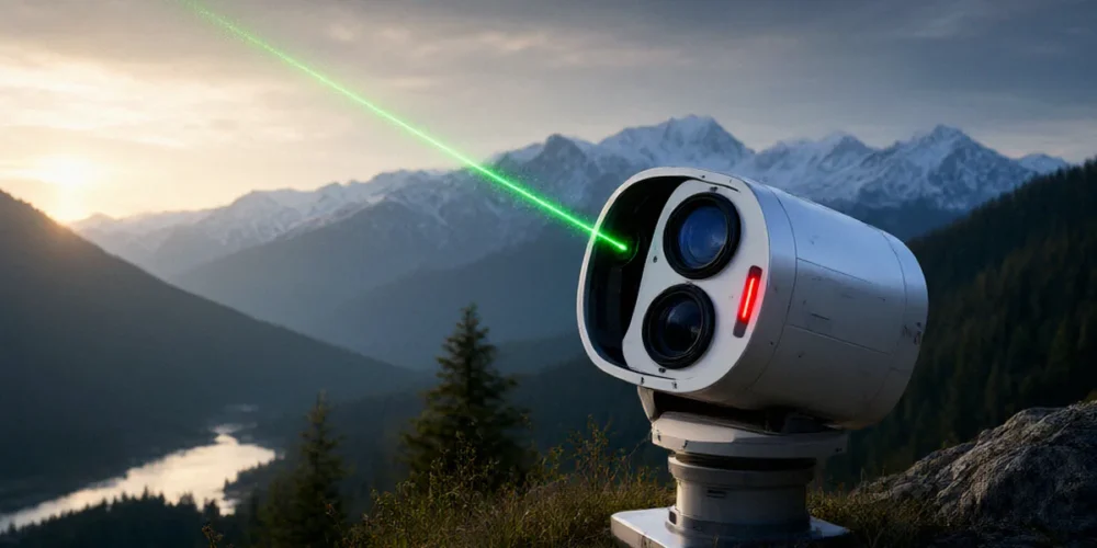
Picture a clear night over Oxfordshire. From a rooftop observatory, a green beam of light pulses upward, vanishing into the dark. It looks like a laser pointer aimed at the stars — but it is far more than that. That beam is a measuring instrument, and the faint light that scatters back down to the telescope tells us what is happening tens of kilometres above our heads. So what can a beam of light actually tell us about the stratosphere? Quite a lot, as it turns out — including how well the ozone layer is recovering from decades of human damage.
The Basic Physics Behind Atmospheric Lidar
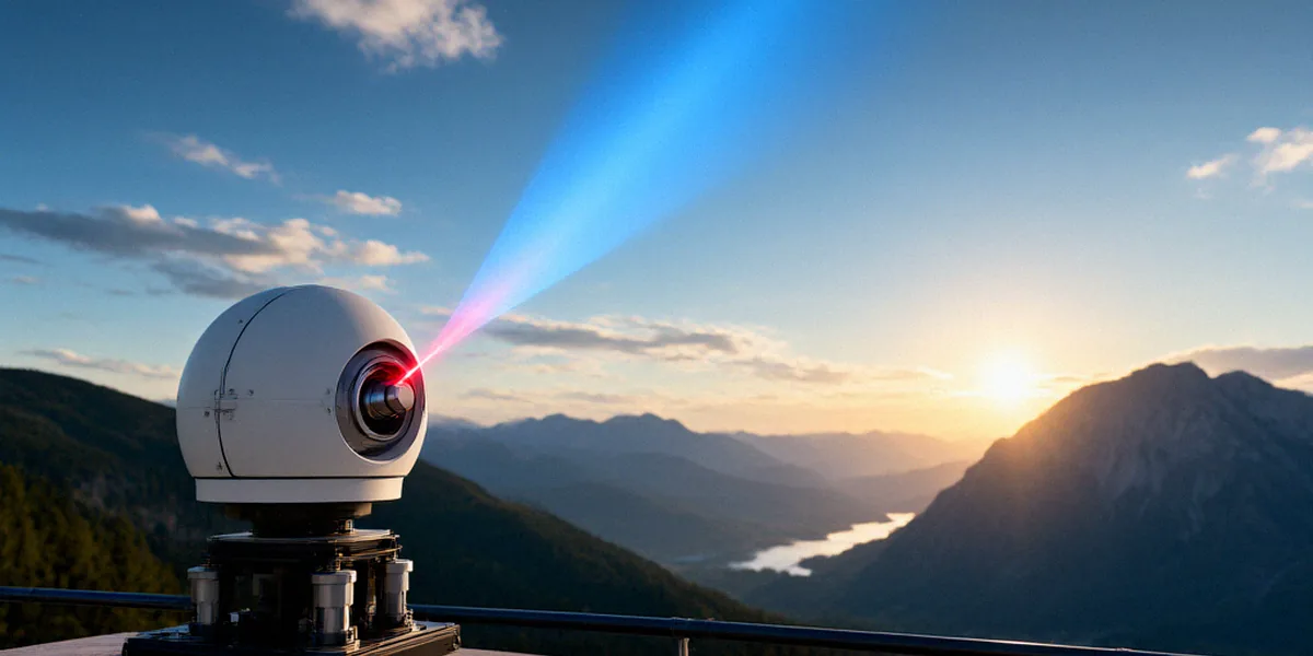
Lidar stands for light detection and ranging. If you have heard of radar, which bounces radio waves off objects to measure distance, lidar works on the same principle but uses pulses of laser light instead. We fire a short pulse upward, wait, and measure the tiny fraction of light that scatters back towards us. The timing tells us the altitude of the scattering, and the strength and character of the return signal tell us what the atmosphere is doing at that height. Unlike radar, which mostly sees hard targets such as aircraft or rain droplets, lidar can detect molecules and fine particles, which makes it uniquely suited to atmospheric science.
How Laser Pulses Interact With the Atmosphere
As a laser pulse travels upward, it collides with nitrogen and oxygen molecules, aerosols, and trace gases. Only a minuscule proportion of the light scatters directly back to the telescope, but that is enough. Each pulse lasts just a few nanoseconds, and by recording the arrival time of returning photons we build a picture of the atmosphere layer by layer, typically at resolutions of a few tens of metres.
Rayleigh, Mie, and Raman Scattering Explained
The return signal comes from several distinct physical processes, and separating them is the heart of lidar science:
- Rayleigh scattering — elastic scattering from air molecules themselves. It dominates at high altitudes and is used to derive temperature and density profiles in the stratosphere and mesosphere.
- Mie scattering — elastic scattering from aerosols and cloud particles. It reveals volcanic dust, polar stratospheric clouds, and pollution layers.
- Raman scattering — inelastic scattering in which photons exchange energy with molecules such as nitrogen or water vapour. Because the wavelength shift is molecule-specific, Raman lidar can measure particular gases and even retrieve ozone concentrations directly.
From Photons to Atmospheric Profiles
Raw photon counts mean little on their own. We combine signals from multiple wavelengths, correct for background light and detector effects, and run inversion algorithms that convert the returning light into usable numbers: ozone concentration in parts per billion, temperature in kelvin, aerosol backscatter coefficients. It is a chain of careful physics, and every link matters.
What NDACC Measures and Why It Matters
The Network for the Detection of Atmospheric Composition Change (NDACC) is a global collaboration of research stations that use ground-based remote sensing — including lidar — to monitor the atmosphere from the surface to the upper stratosphere. Its lidar stations span the globe, from the Arctic to the tropics to the Antarctic, giving us a consistent, long-term view of how atmospheric composition is changing.
Ozone Monitoring in the Stratosphere
Ozone is the headline measurement. Stratospheric ozone shields life on Earth from harmful ultraviolet radiation, and its depletion in the 1980s and 1990s was one of the great environmental crises of the century. NDACC lidars produce vertical ozone profiles that show not just how much ozone is present but exactly where it sits in the stratosphere. This vertical detail is something satellites and ground-level instruments struggle to deliver alone.
Temperature, Aerosols, and Trace Gases
Beyond ozone, NDACC lidars measure stratospheric temperature, aerosol loading, and trace gases including water vapour and nitrogen dioxide. Aerosol measurements are particularly valuable after volcanic eruptions, when sulphate particles can linger in the stratosphere for years and influence both chemistry and climate.
Why Long-Term Records Matter for Climate Policy
The Montreal Protocol (1987) is the international treaty that phased out ozone-depleting substances, and NDACC lidar data help track its effectiveness. Because the network has been running for decades, it can distinguish a genuine recovery trend from year-to-year natural variability. That kind of evidence is exactly what policymakers need when assessing whether environmental treaties are actually working.
Inside a Typical NDACC Lidar Station
A modern atmospheric lidar station is a surprisingly modest-looking setup: a laser, a telescope, a rack of detectors, and a lot of cabling. The engineering, however, is demanding. Instruments must run reliably for years, often unattended, in conditions ranging from Arctic cold to desert heat.
Lasers, Telescopes, and Detectors
Most NDACC ozone lidars use Nd:YAG lasers, often paired with dye or Raman shifters to produce the multiple wavelengths needed for differential absorption measurements. A large telescope — typically 0.5 to 2 metres in diameter — collects the backscattered light, which is then focused onto photomultiplier tubes or, increasingly, avalanche photodiodes. Data acquisition systems record photon arrivals with nanosecond precision.
In the UK, the Rutherford Appleton Laboratory in Oxfordshire operates lidar instruments and contributes to atmospheric remote sensing research. The University of Manchester has a long history of atmospheric lidar research, including ozone and aerosol profiling, and remains active in the field.
Daytime vs Nighttime Operations
Many lidar measurements are made at night, when background sunlight does not swamp the faint return signal. Some instruments, however, use narrowband filters and sophisticated optics to operate during the day as well. Daytime capability matters because it improves temporal coverage and lets us capture short-lived events such as volcanic plumes.
Calibration and Quality Control
Every lidar needs regular calibration — against known reference standards, against other instruments, and against itself over time. NDACC stations follow common protocols so that a profile measured in the UK can be compared directly with one measured in New Zealand. Without that discipline, long-term records would be worthless.
From Raw Signals to Trusted Data
The journey from a photon hitting a detector to a published ozone profile is longer than most people expect, and it is where a lot of the scientific effort actually goes.
Signal Processing and Inversion Techniques
Raw signals are averaged over minutes to hours to improve signal-to-noise ratios, then corrected for atmospheric transmission, detector nonlinearity, and background noise. Inversion algorithms — often based on the Raman or DIAL (differential absorption lidar) technique — then convert the corrected signals into geophysical quantities. Each algorithm has assumptions, and each assumption is tested.
Validation Against Satellites and Sondes
No single instrument is trusted on its own. NDACC lidar data are routinely compared with satellite measurements and with ozonesondes — balloon-borne instruments that measure ozone directly as they ascend. When ground-based lidar, satellites, and sondes agree, confidence in the data rises sharply. When they disagree, that is a signal to investigate.
The NDACC Data Host Facility
NDACC’s Data Host Facility provides open access to lidar data from stations worldwide, supporting UK researchers and international collaborators. Scientists anywhere can download quality-controlled profiles and use them in their own analyses. This openness is one of the network’s greatest strengths — it turns a collection of national instruments into a genuinely global dataset.
Why Atmospheric Lidar Still Matters in the UK and Beyond
It would be easy to think of lidar as a solved problem — a mature technology quietly collecting data in the background. In reality, it remains at the centre of some of the most pressing questions in atmospheric science.
Tracking Ozone Recovery After the Montreal Protocol
Ozone recovery is expected to unfold over many decades, with a return to pre-1980 levels not anticipated until around the middle of this century. Detecting that recovery requires sustained, high-quality measurements. NDACC lidars provide exactly that, and their data feed directly into international assessments of the Montreal Protocol’s success.
Volcanic Aerosols and Aviation Safety
When volcanoes inject sulphate aerosols into the stratosphere, the consequences range from temporary global cooling to hazard warnings for aviation. Lidar is one of the few tools that can measure these layers with the vertical resolution needed to understand their spread and persistence.
Lidar’s Role in Climate Model Validation
Climate and chemistry models need real-world data to test their predictions. The Met Office uses atmospheric composition data, including lidar measurements, to inform UK climate and air quality assessments. Without independent observations, model biases could go undetected for years.
Atmospheric lidar is not just a clever technology; it is a cornerstone of global ozone and climate monitoring. We invite you to explore NDACC’s open data archive and follow updates from UK lidar stations to see the science in action.
Frequently Asked Questions
What does lidar actually stand for?
Lidar stands for light detection and ranging. It is the optical equivalent of radar, using laser pulses rather than radio waves to probe the atmosphere.
Why is NDACC so important for ozone monitoring?
NDACC provides long-term, standardised measurements from stations around the world. That consistency is what allows scientists to detect slow trends such as ozone recovery and to verify the effectiveness of the Montreal Protocol.
Can lidar measure ozone during the day?
Yes, although nighttime measurements are more common because the background sunlight is weaker. Some NDACC instruments use narrowband filters and advanced optics to operate during daylight hours.
Who uses NDACC lidar data in the UK?
UK researchers at institutions such as the University of Manchester and the Rutherford Appleton Laboratory use NDACC data, and the Met Office incorporates atmospheric composition measurements into its climate and air quality assessments.
Is NDACC data free to access?
Yes. NDACC’s Data Host Facility provides open access to lidar data from stations worldwide, supporting both UK researchers and international collaborators.